Nighthawk Hill Trail, Cawston, BC
Length: 4.3 km Round Trip
Elevation Gain: 323 m
Time: 2 hours
About Nighthawk Trail, Similkameen Valley, Canada
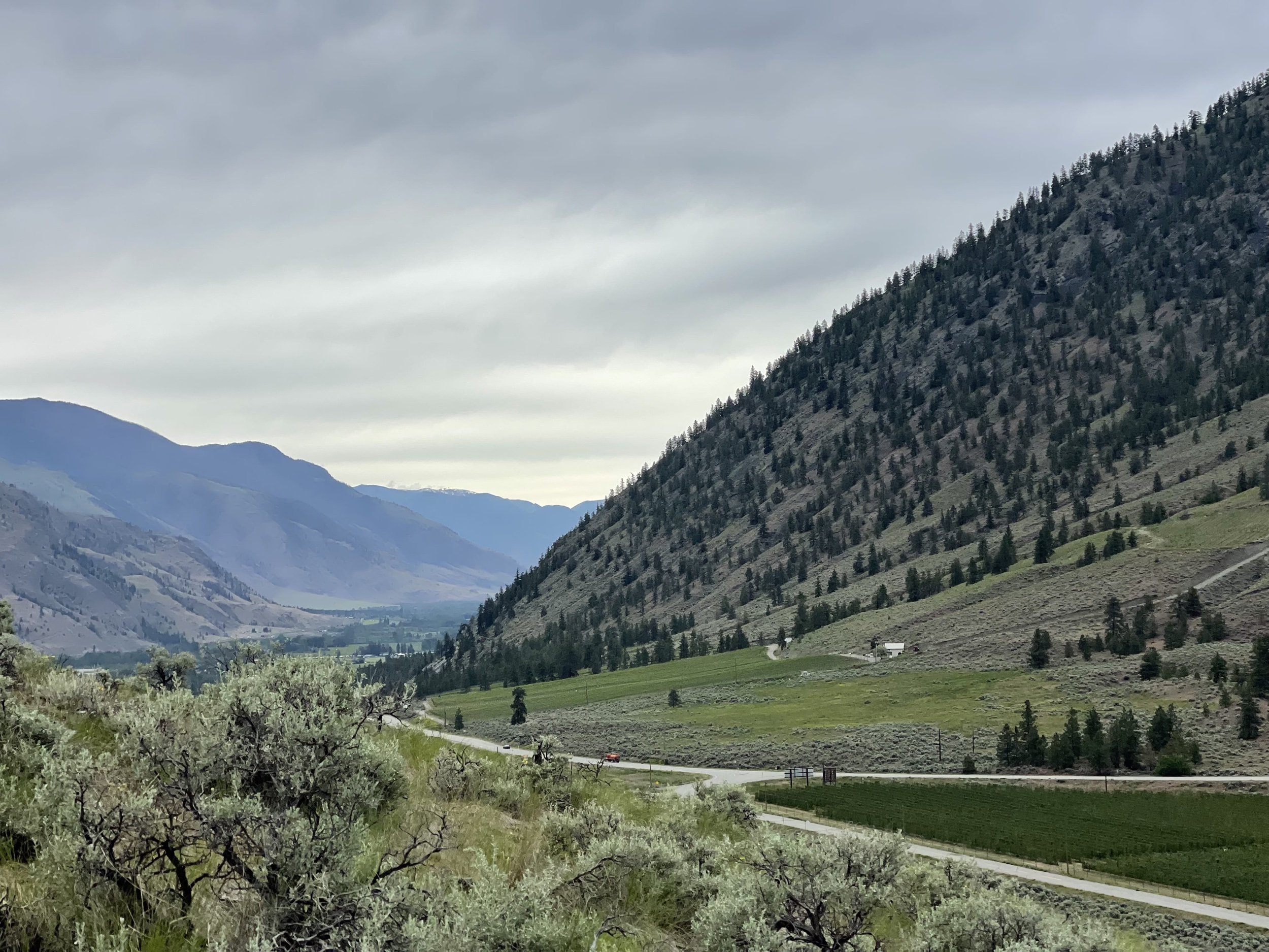
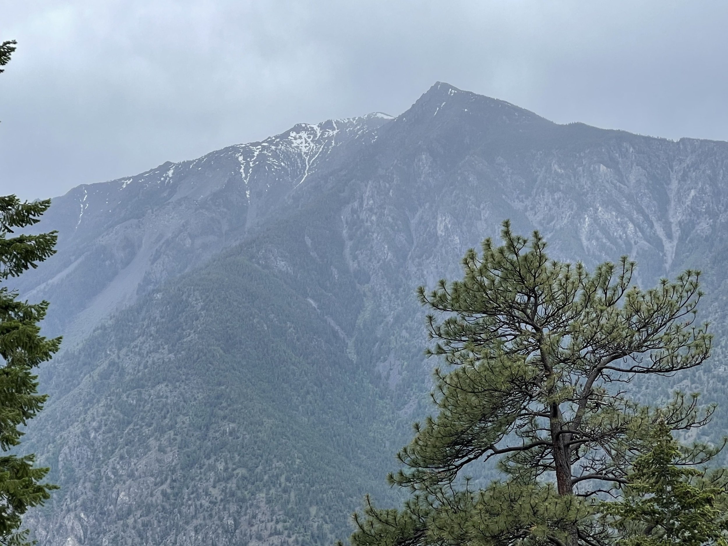
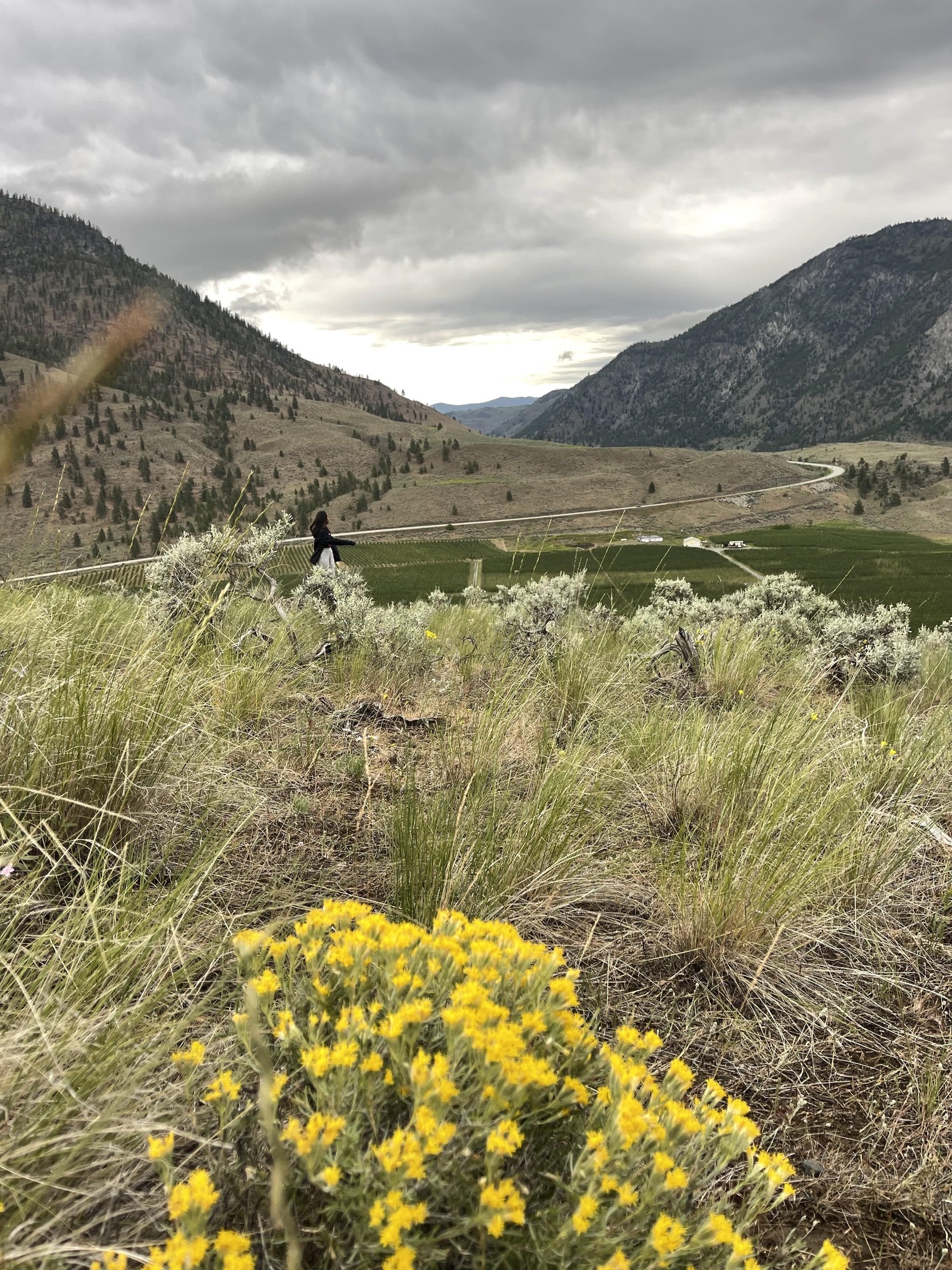
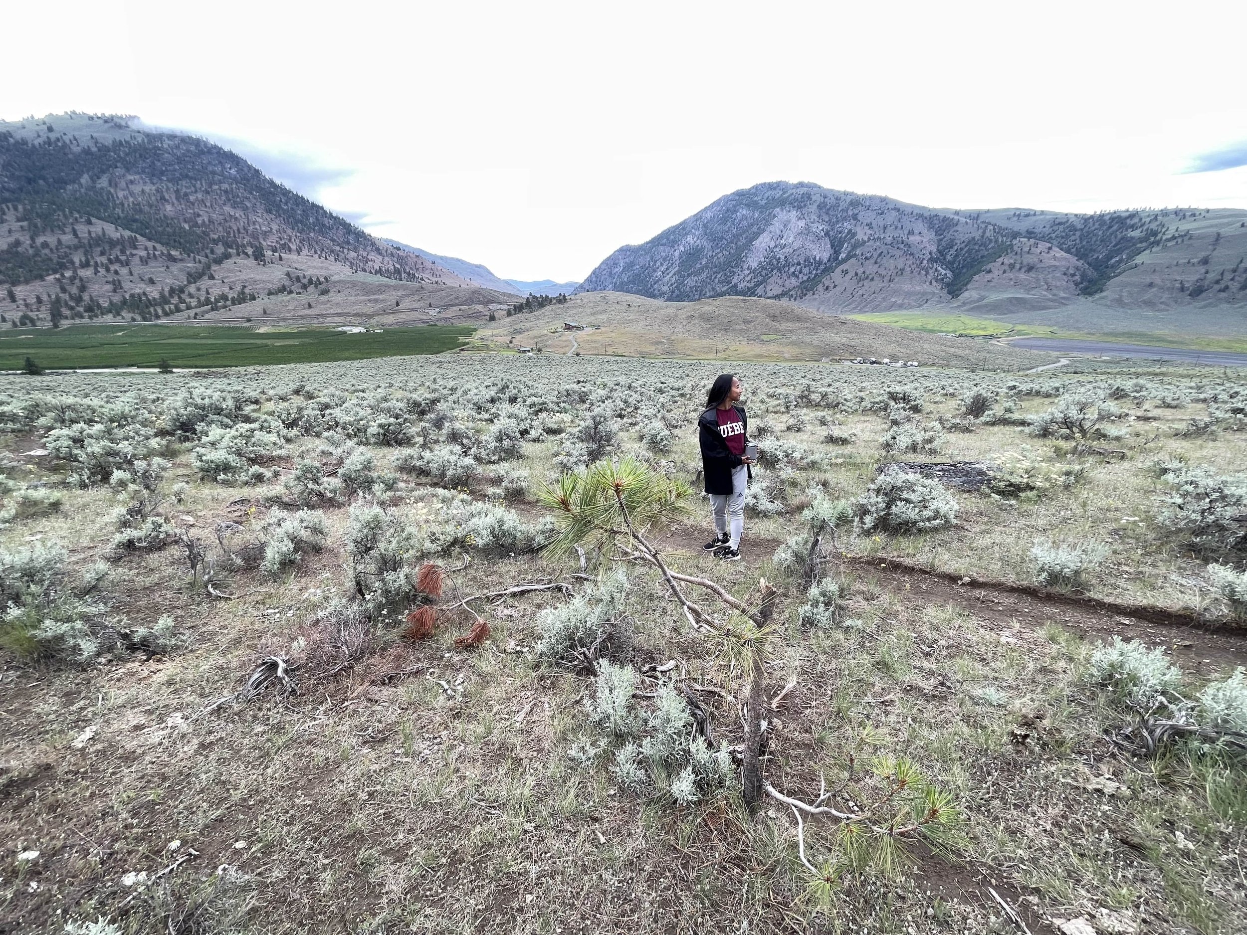
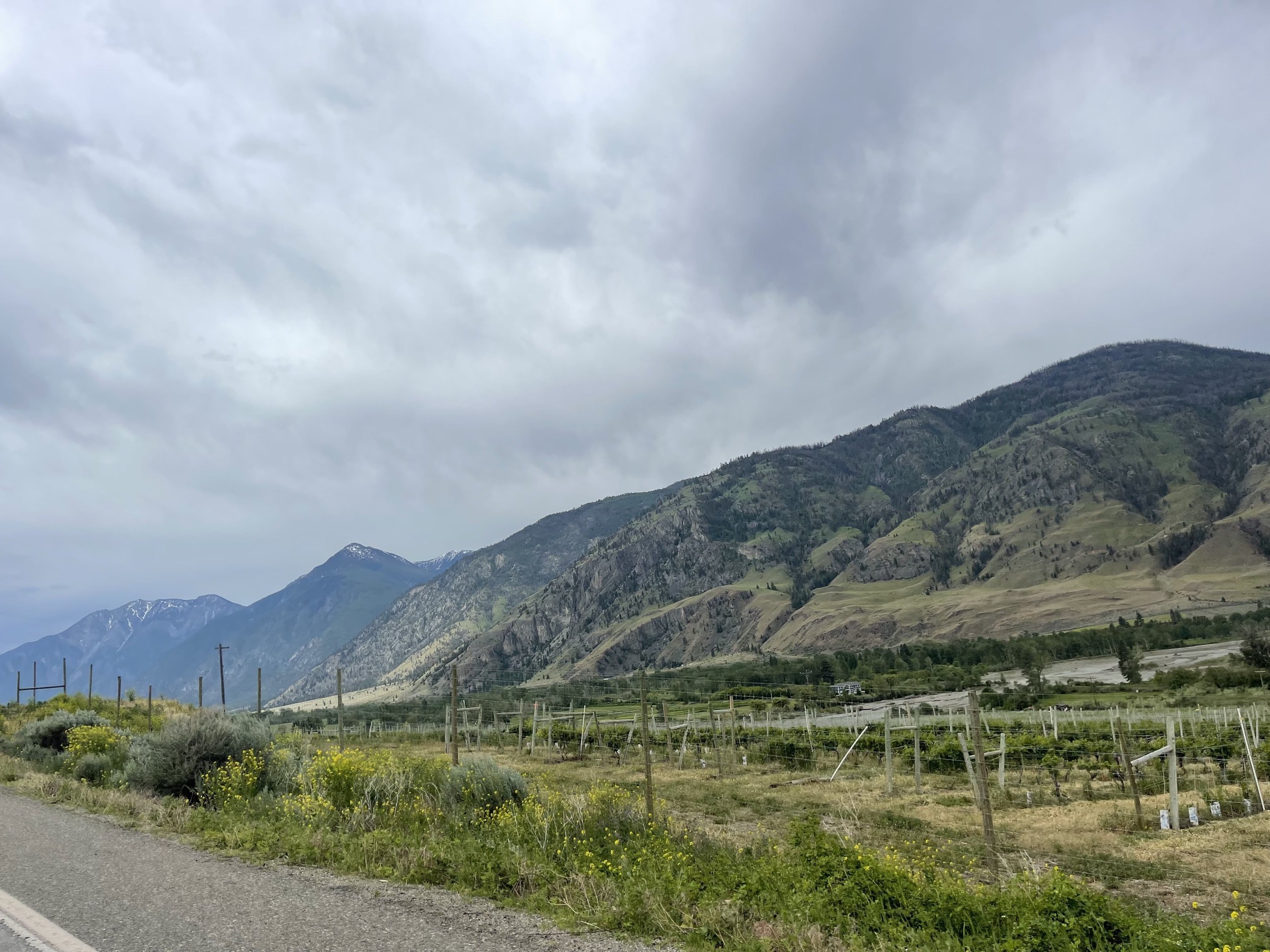
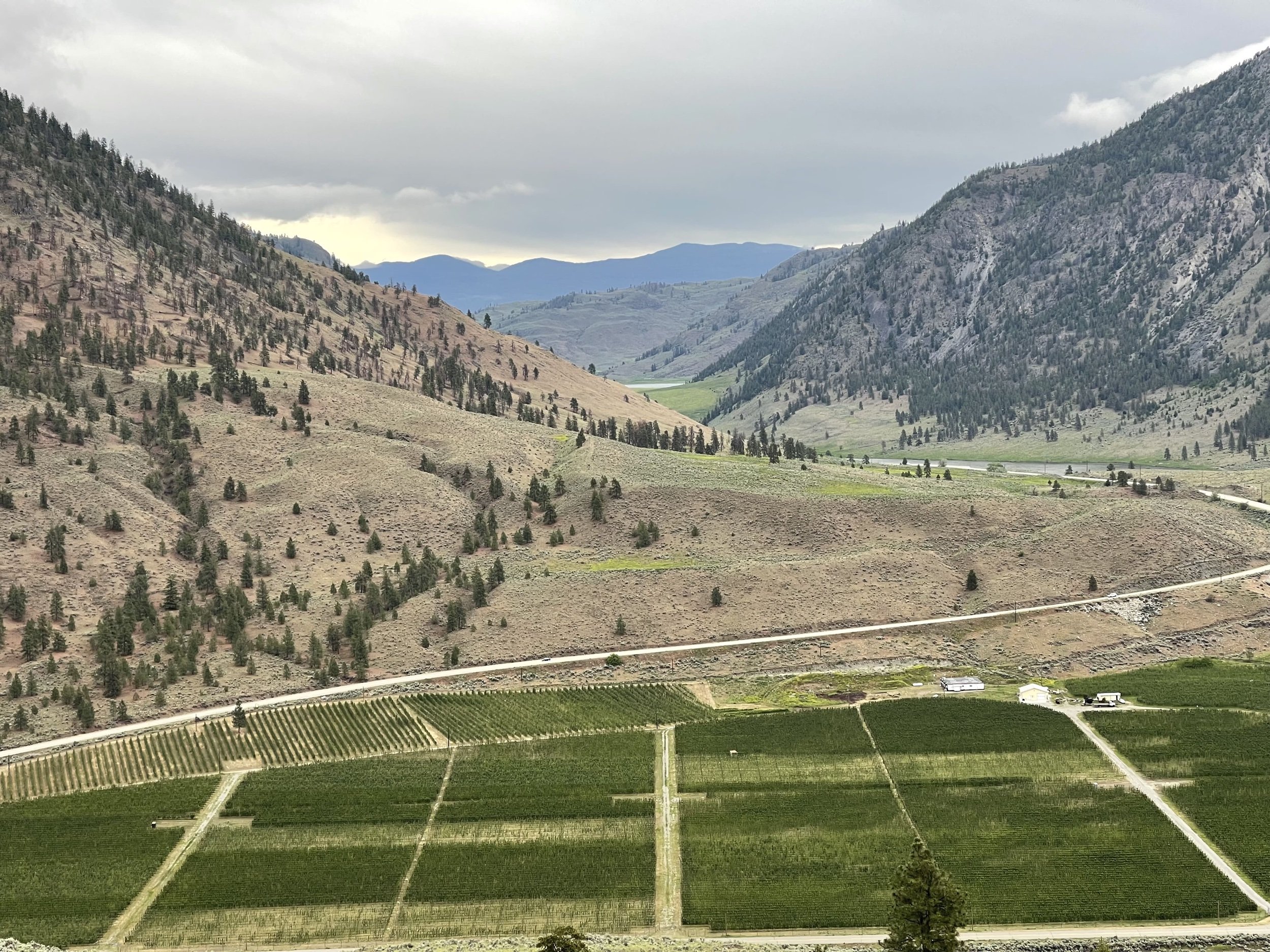
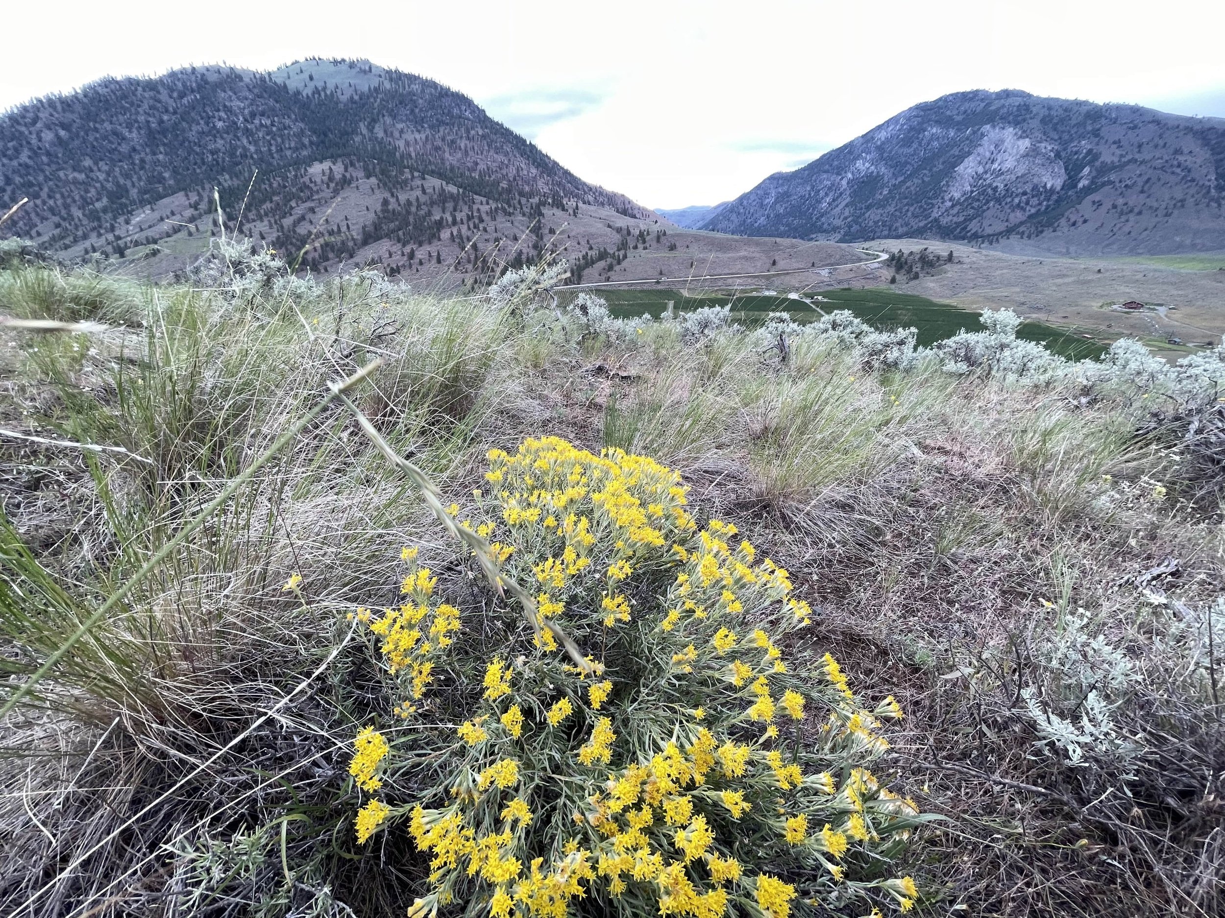
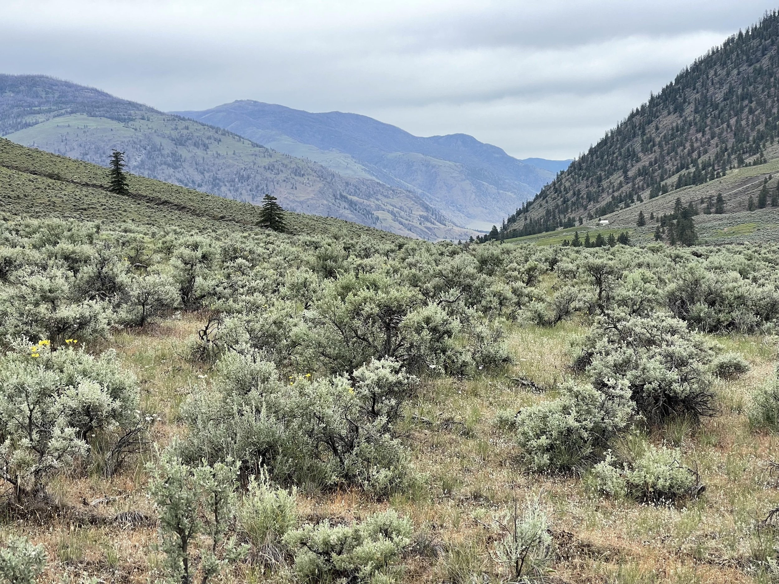
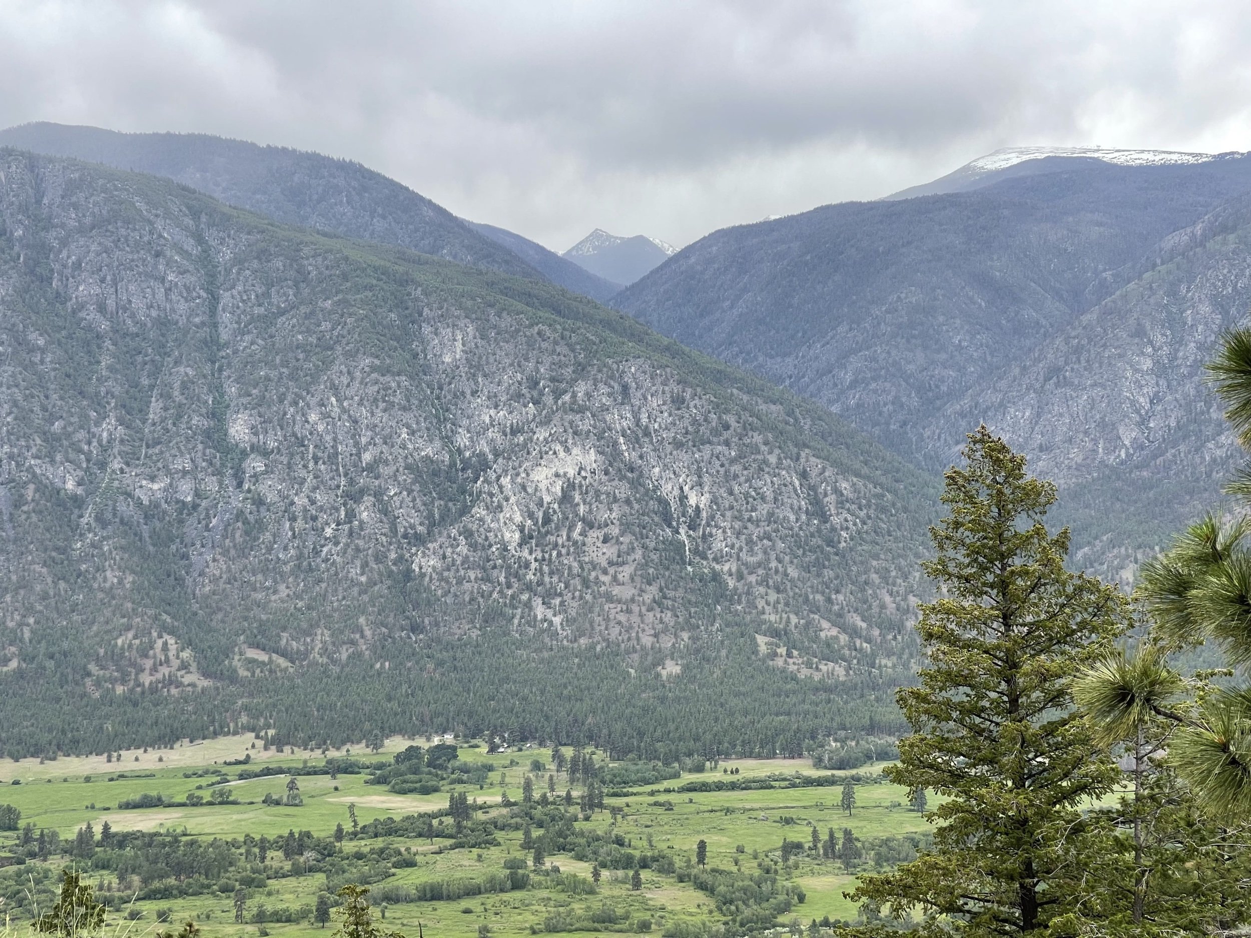
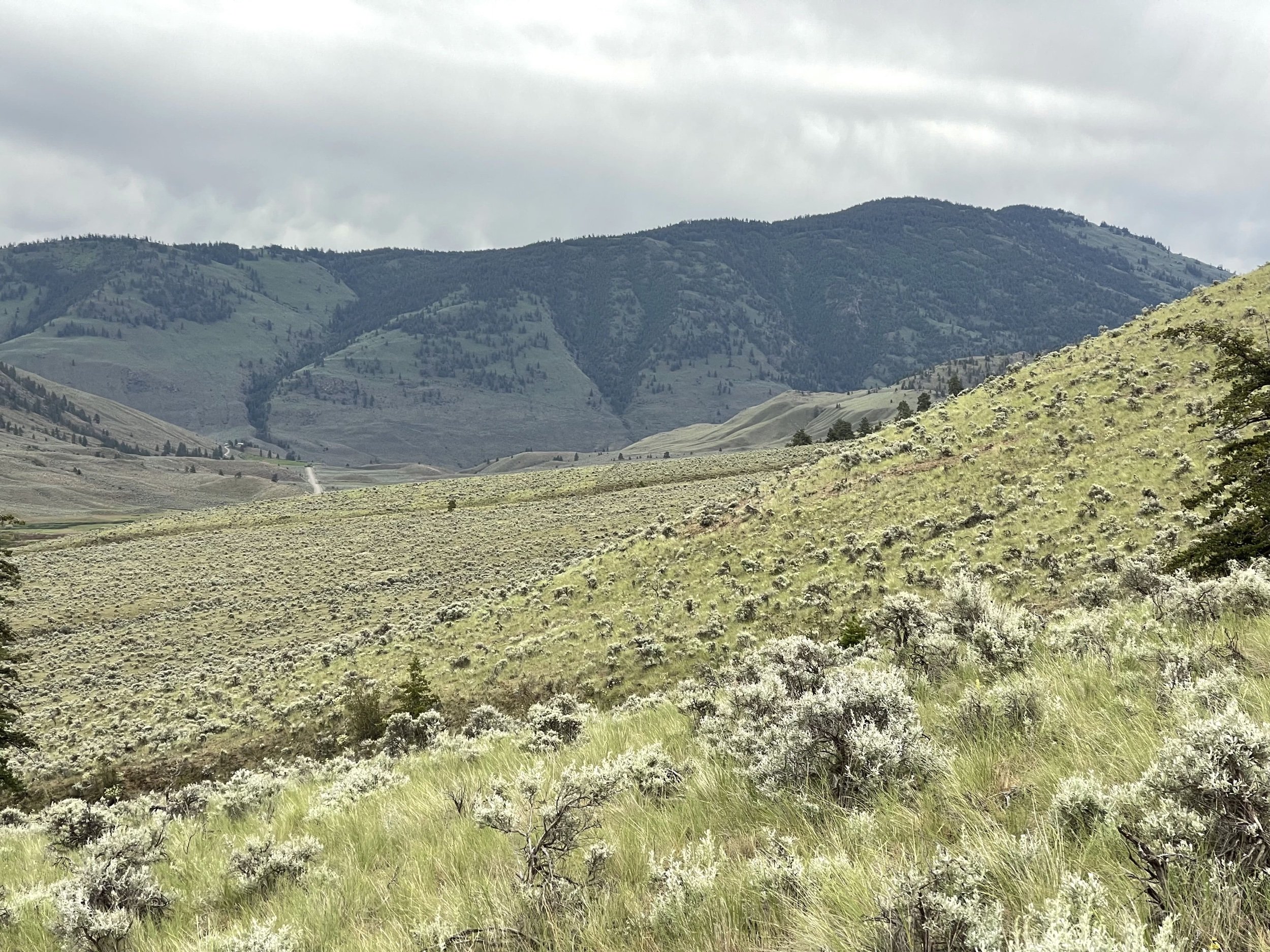
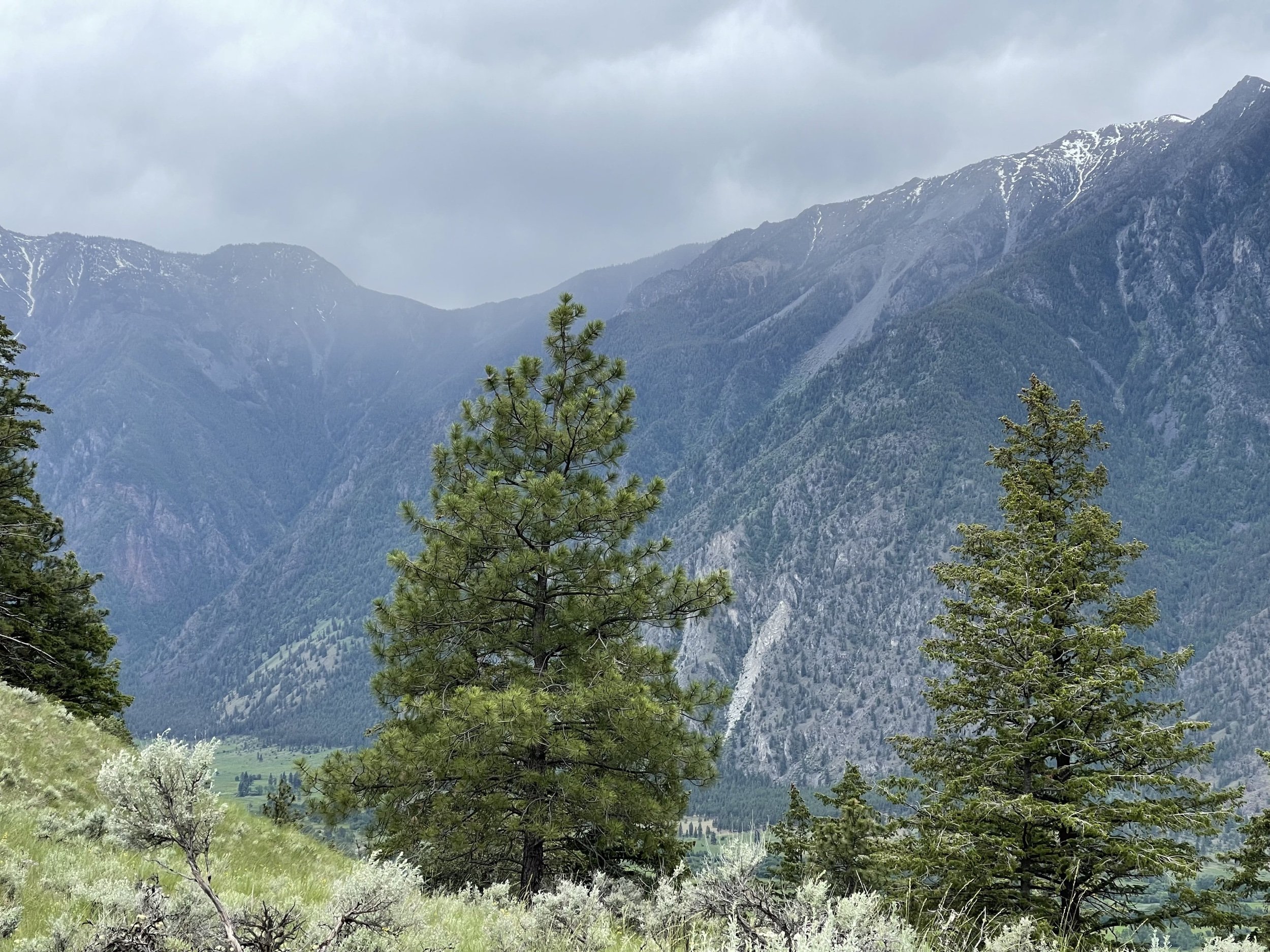
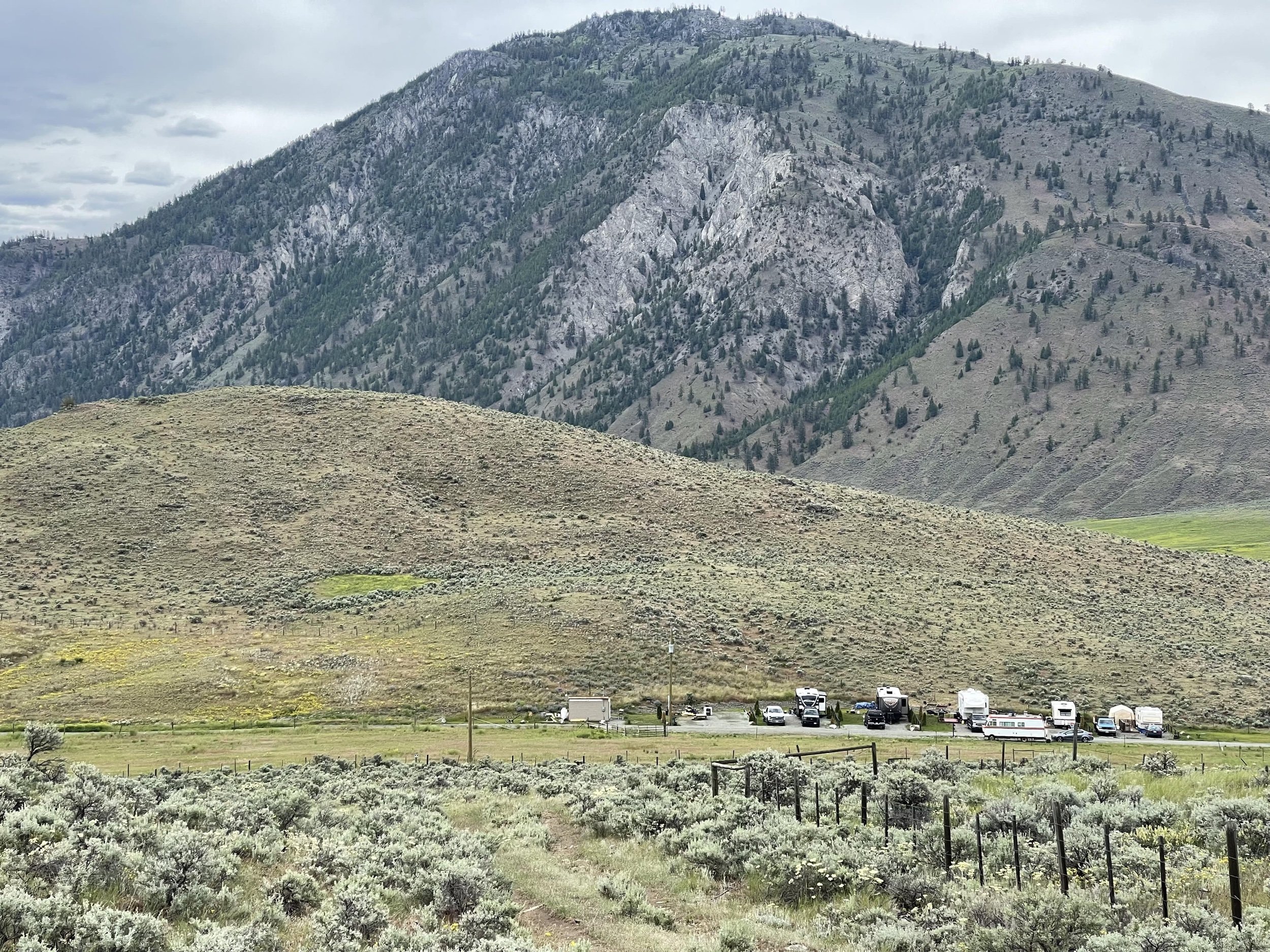
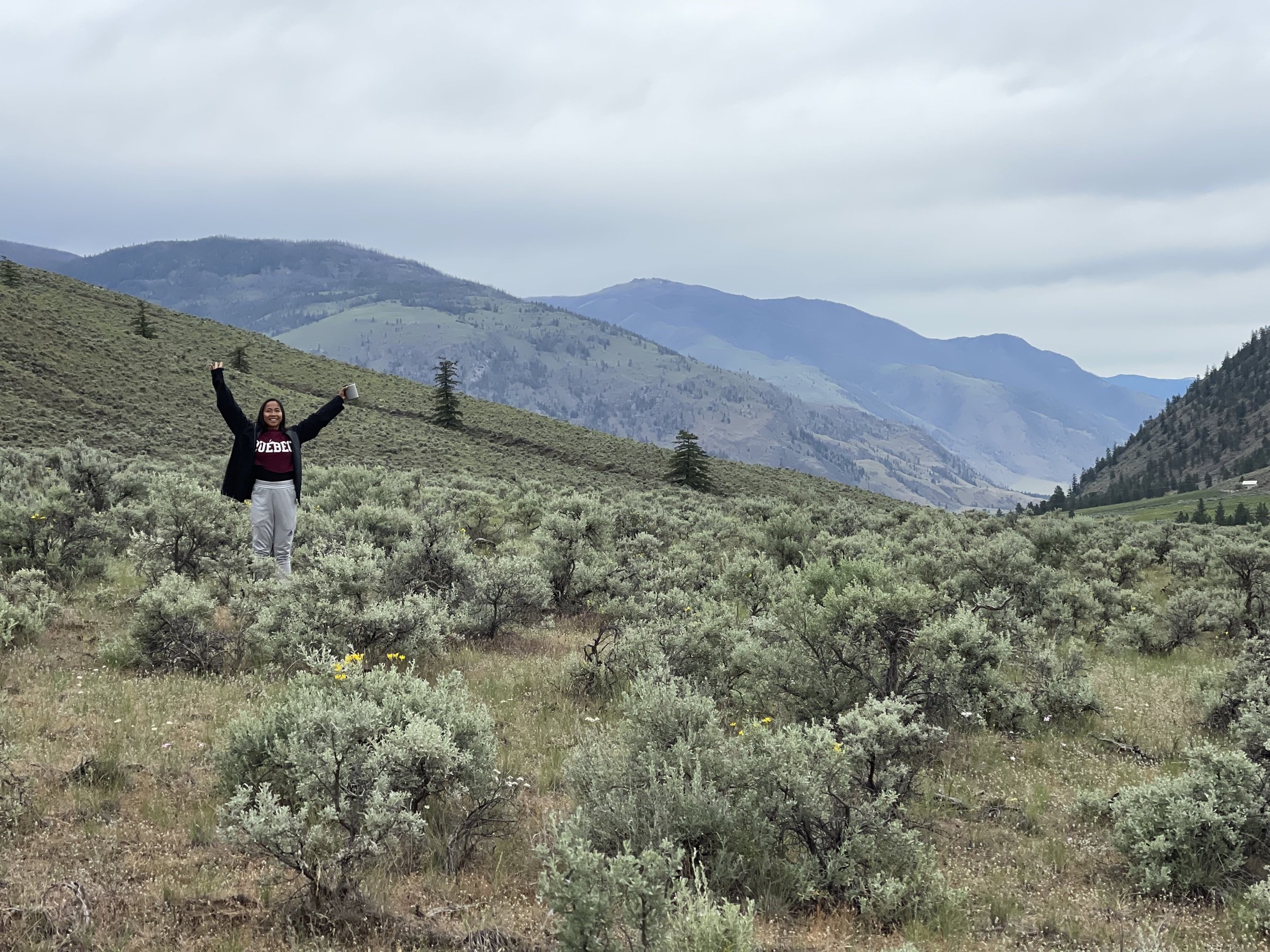
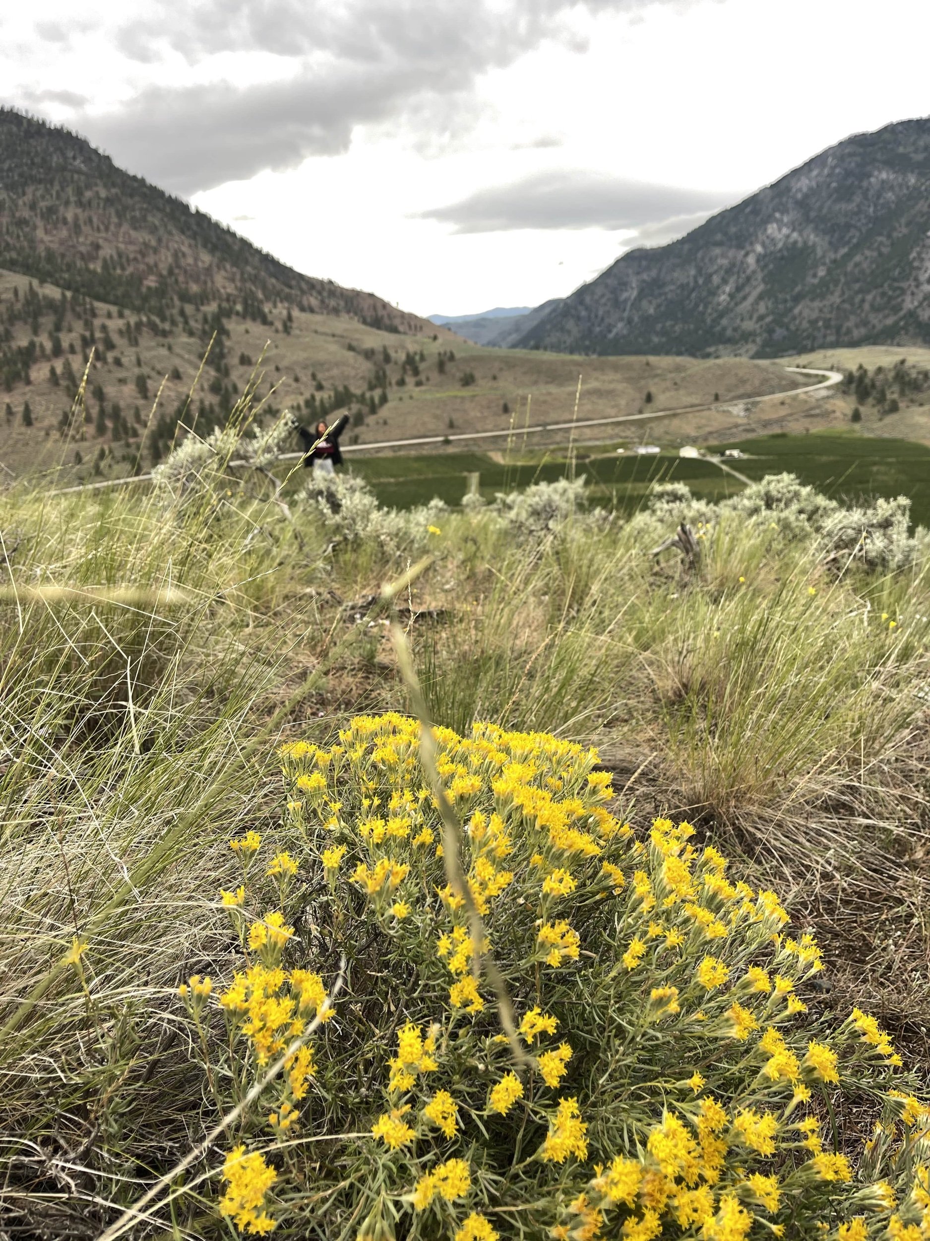
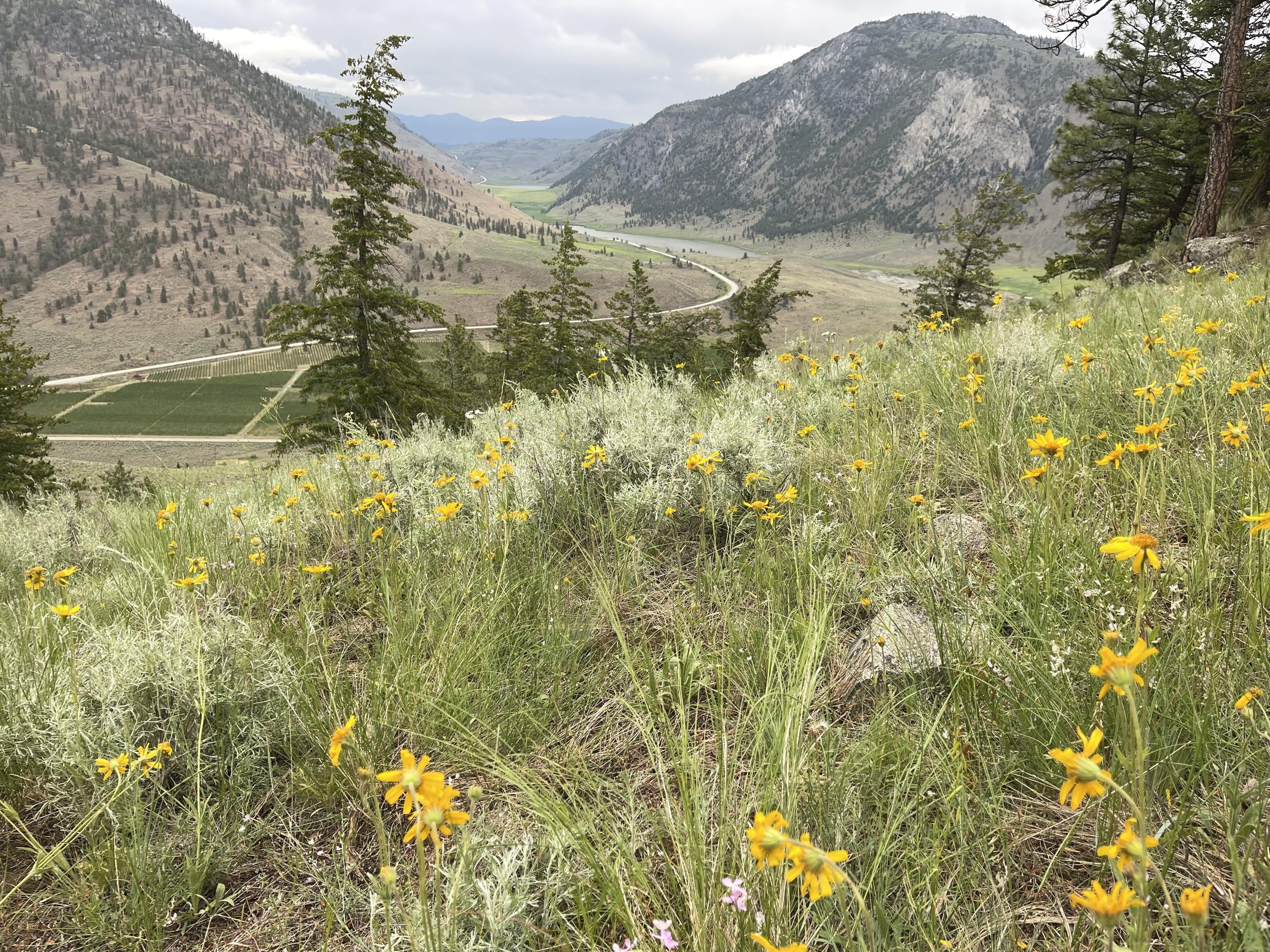
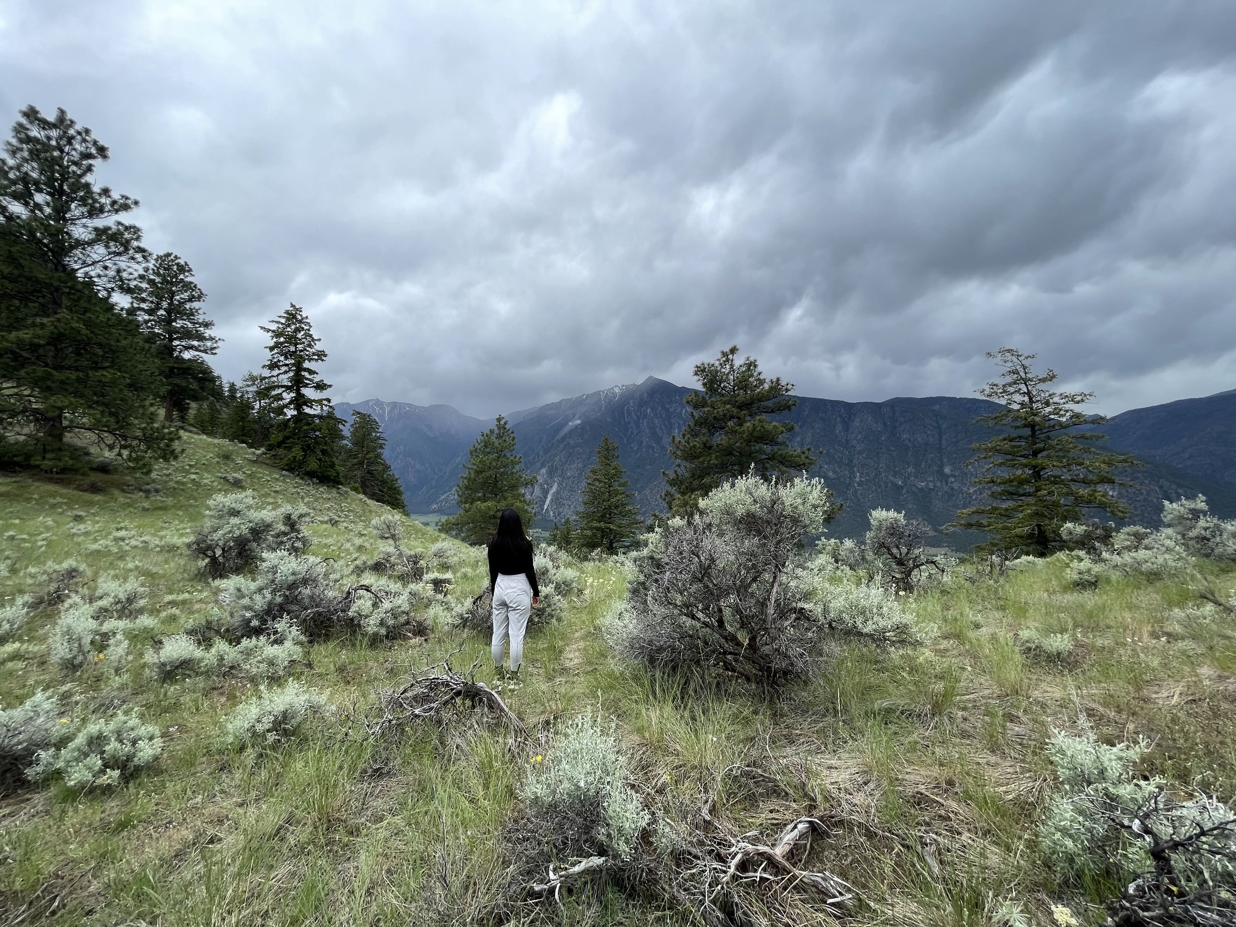
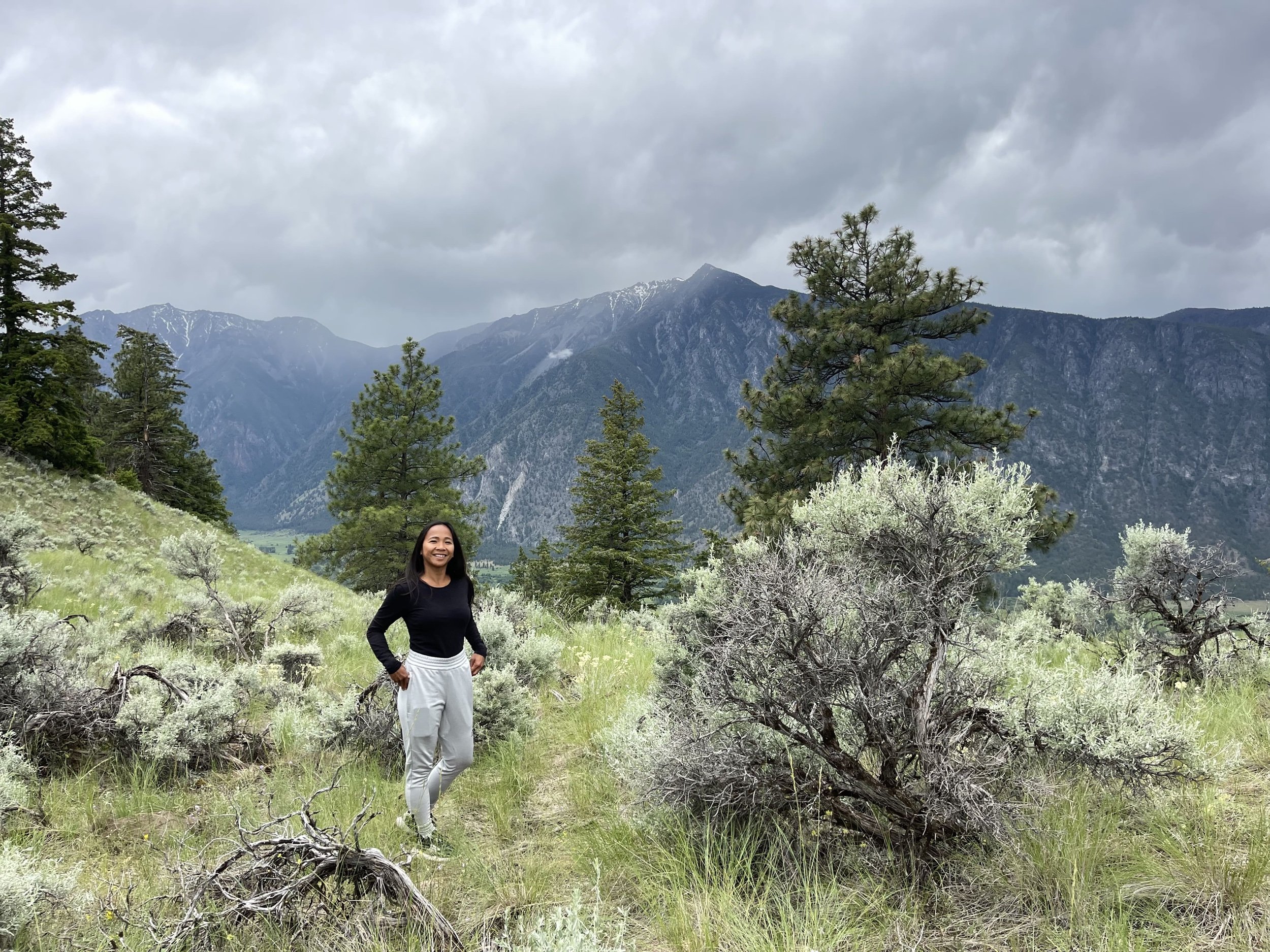
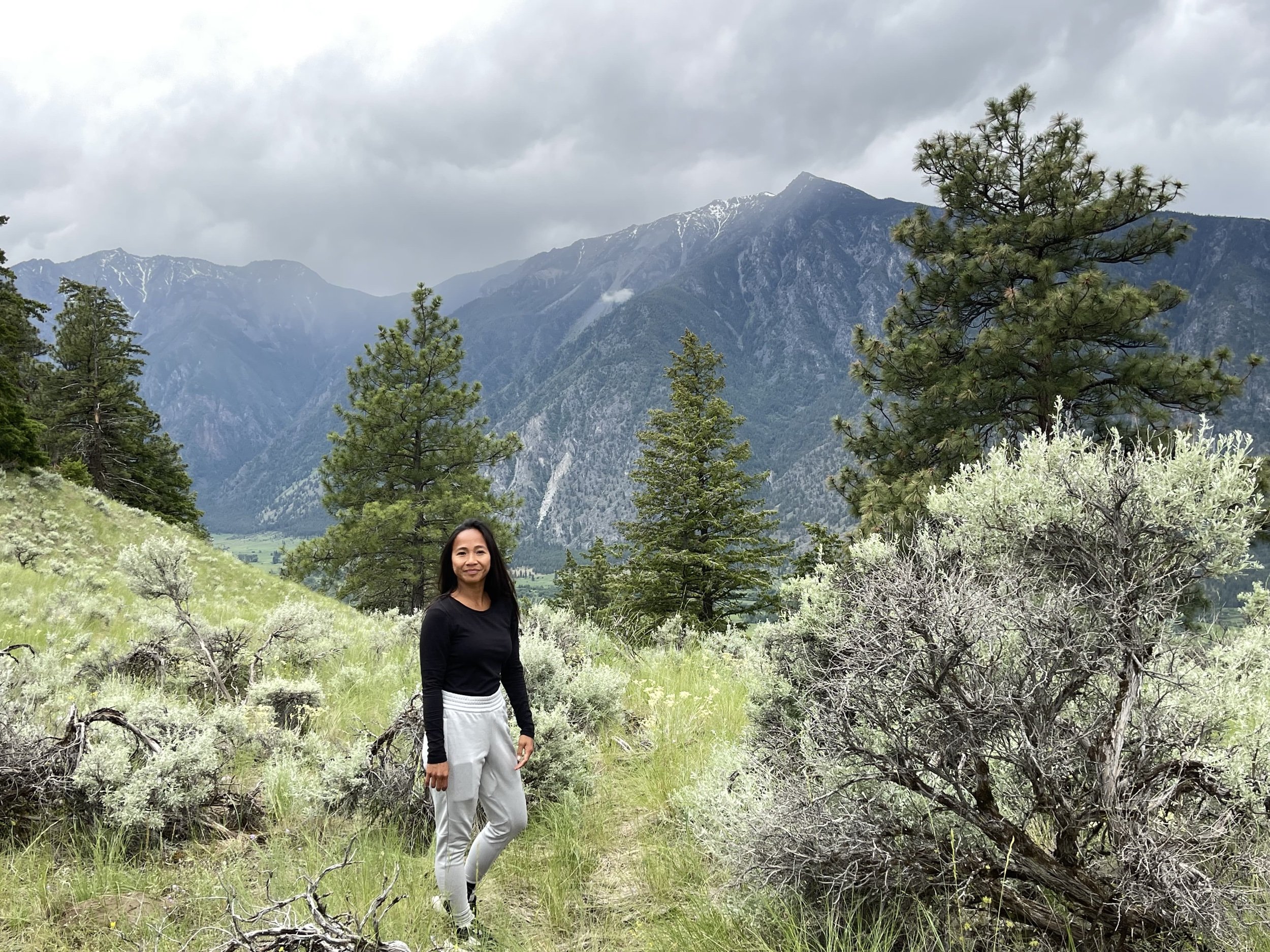
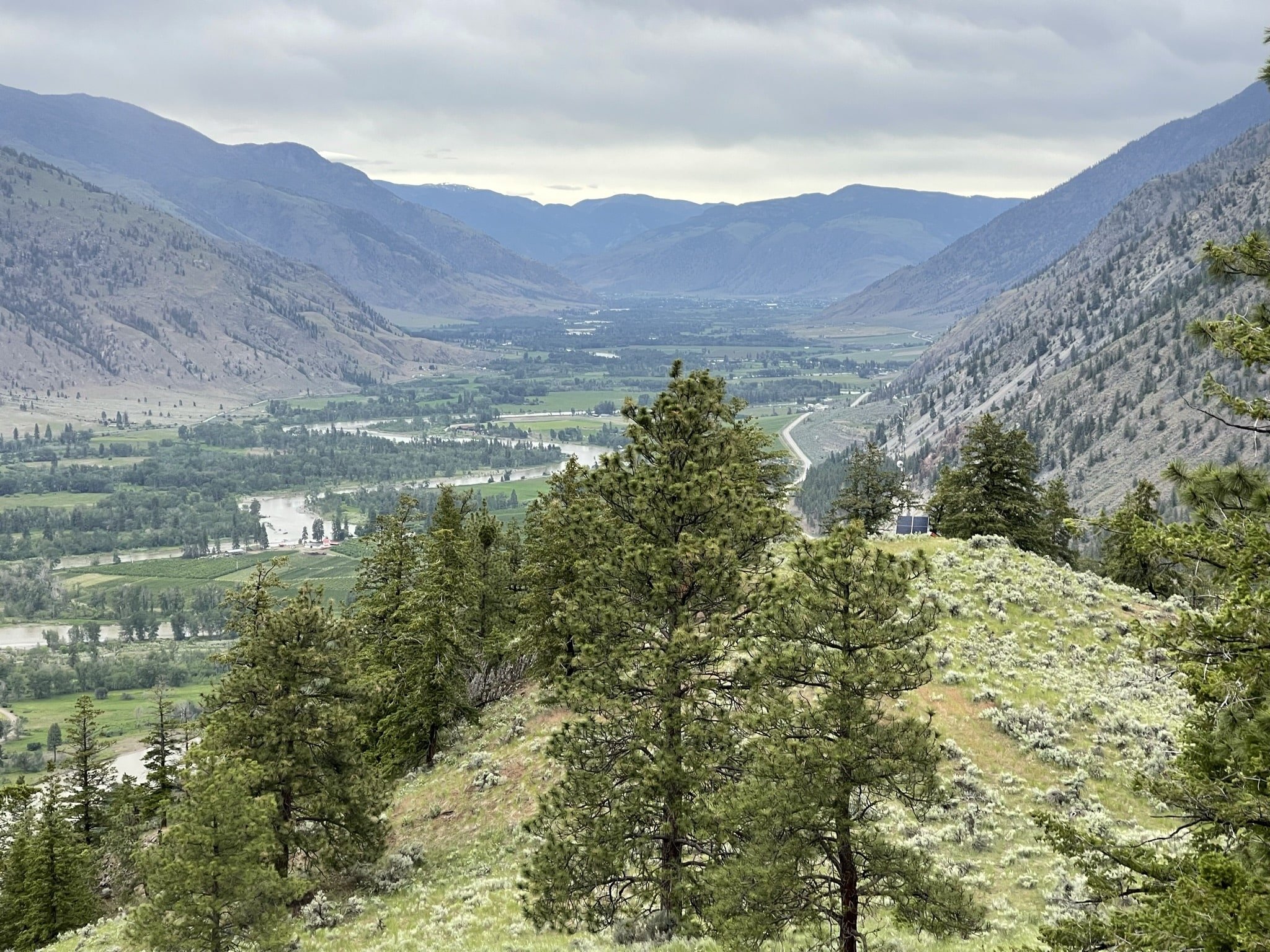
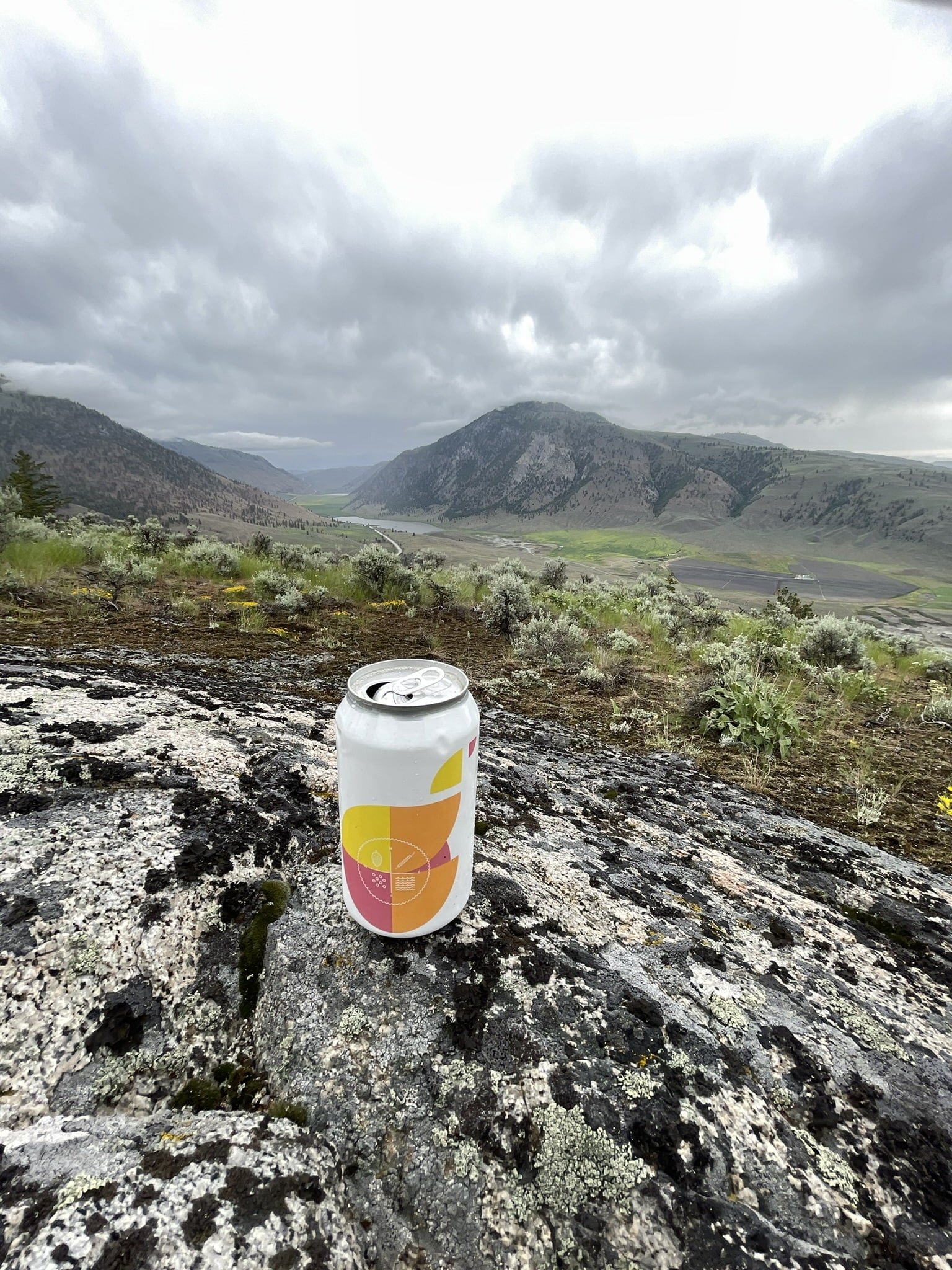
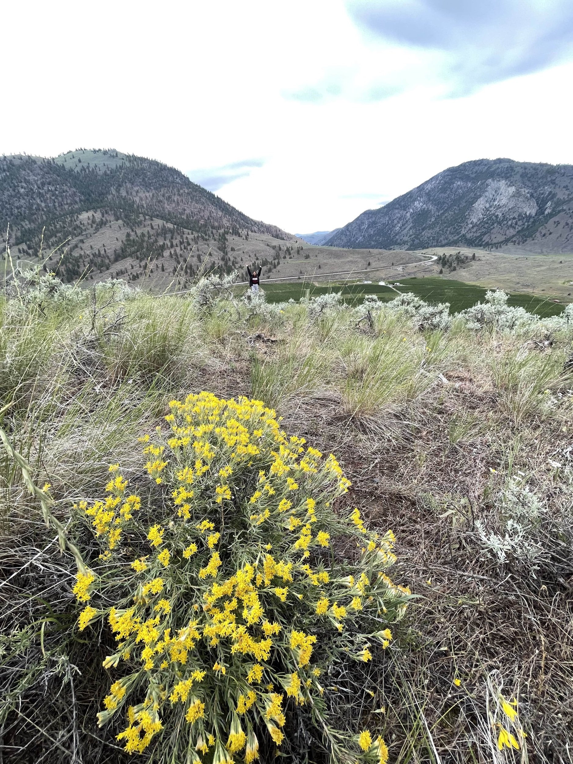
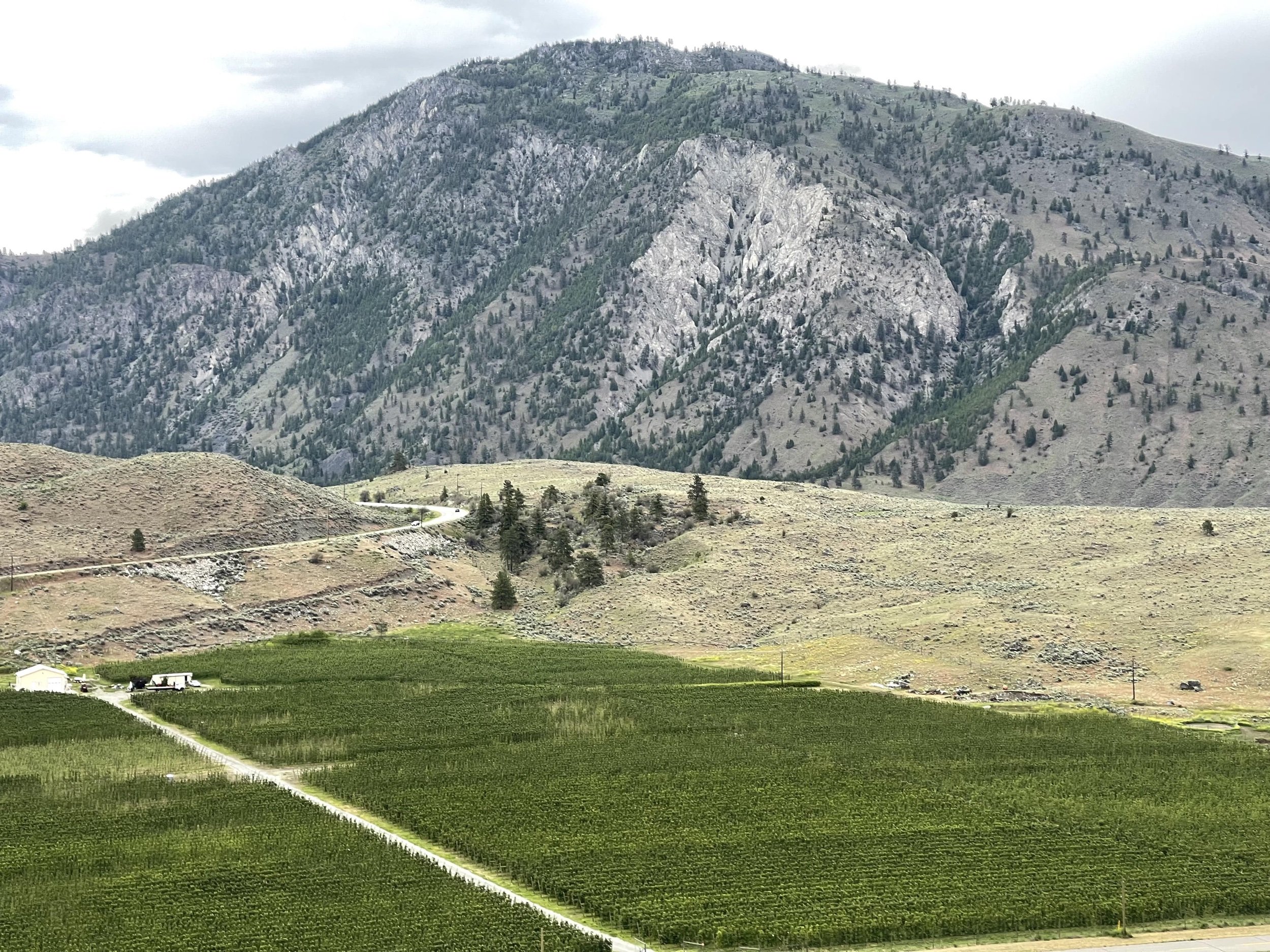
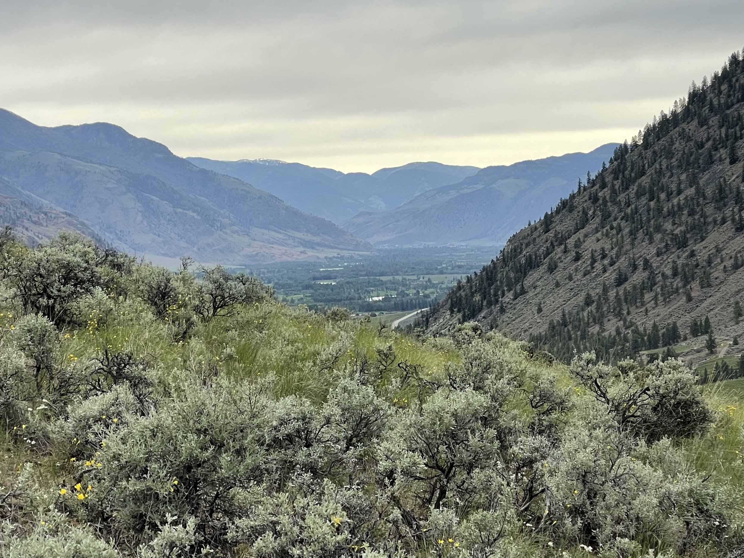
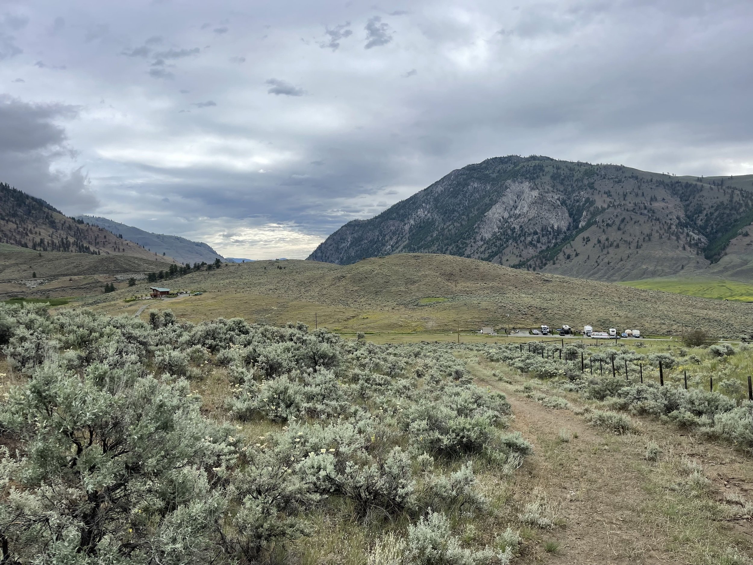
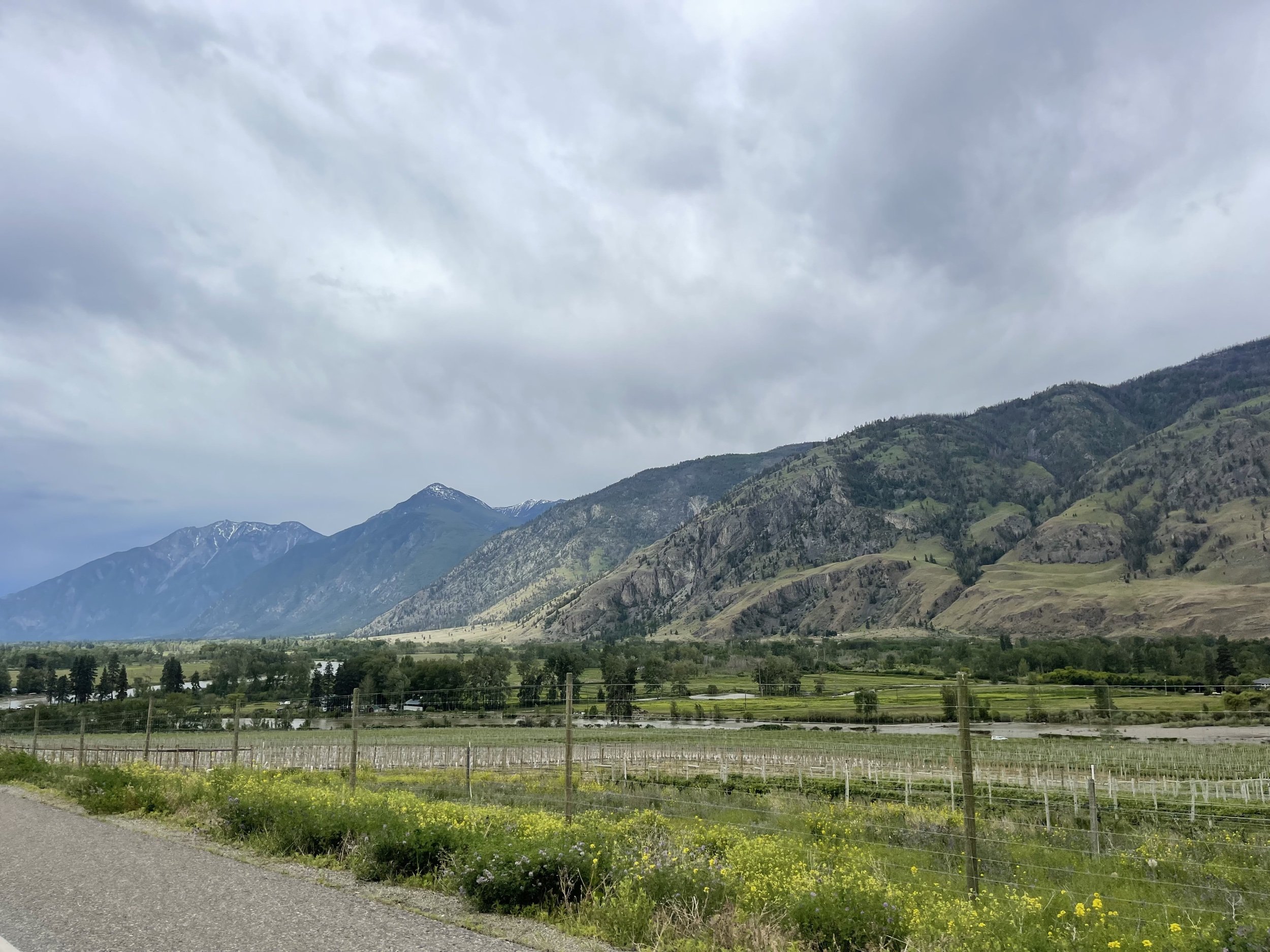
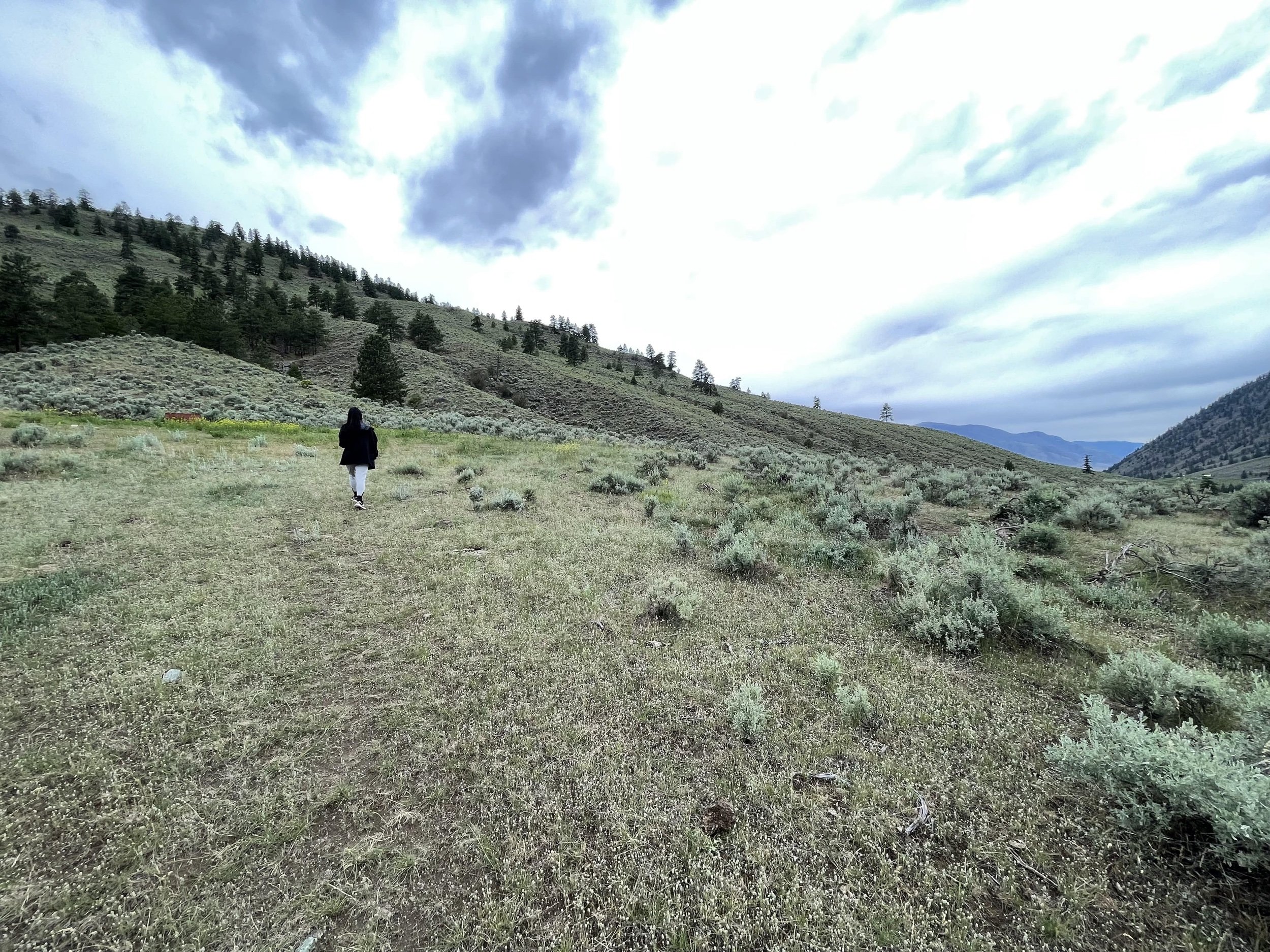
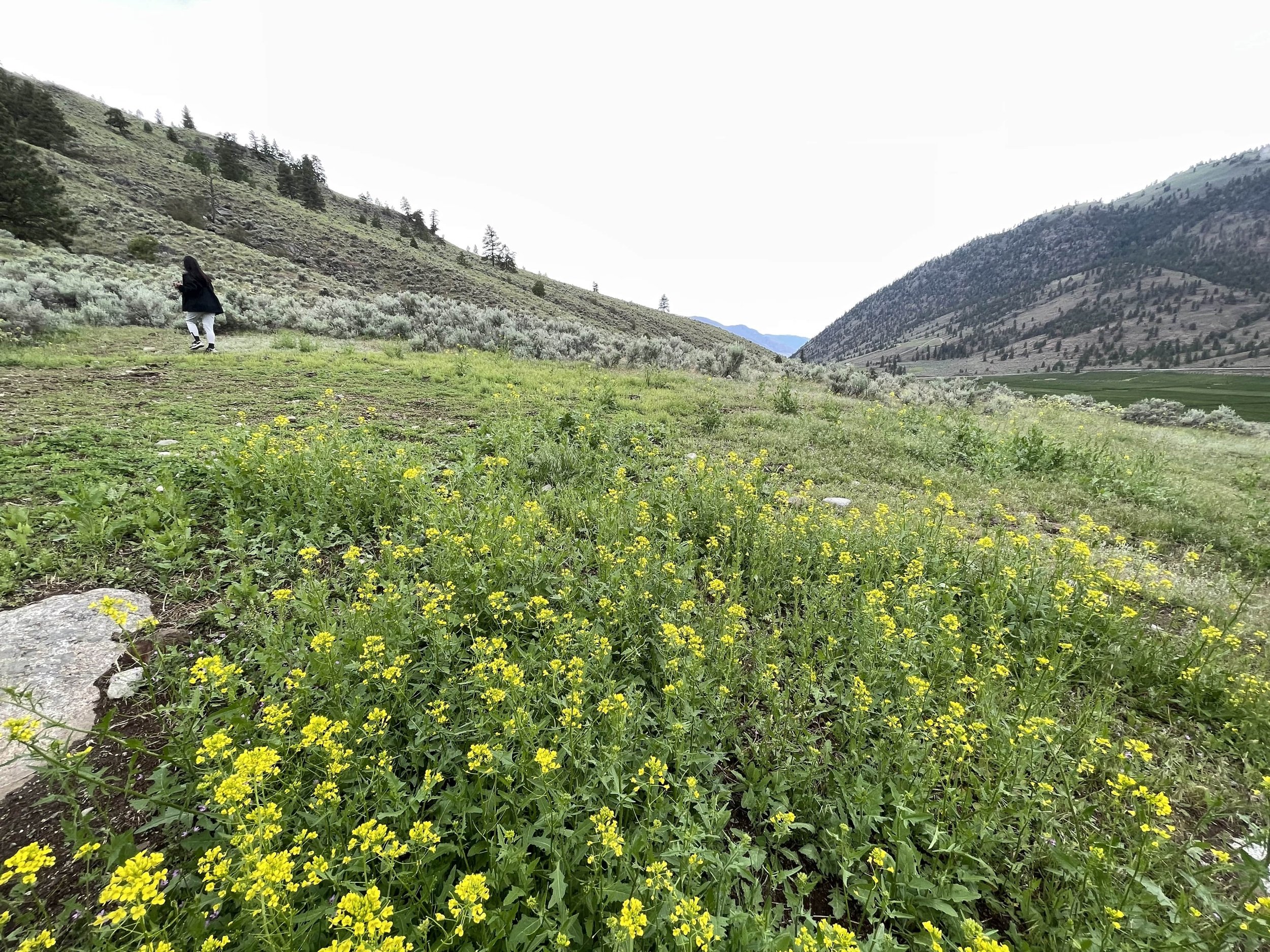
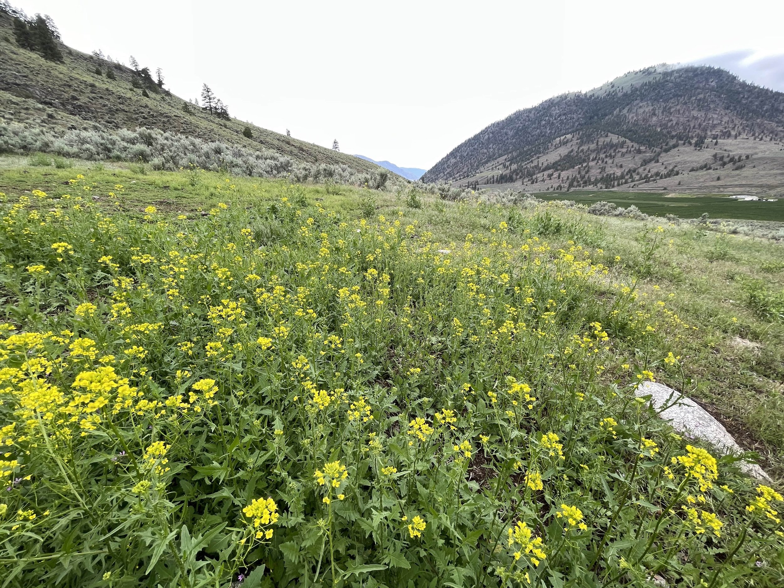
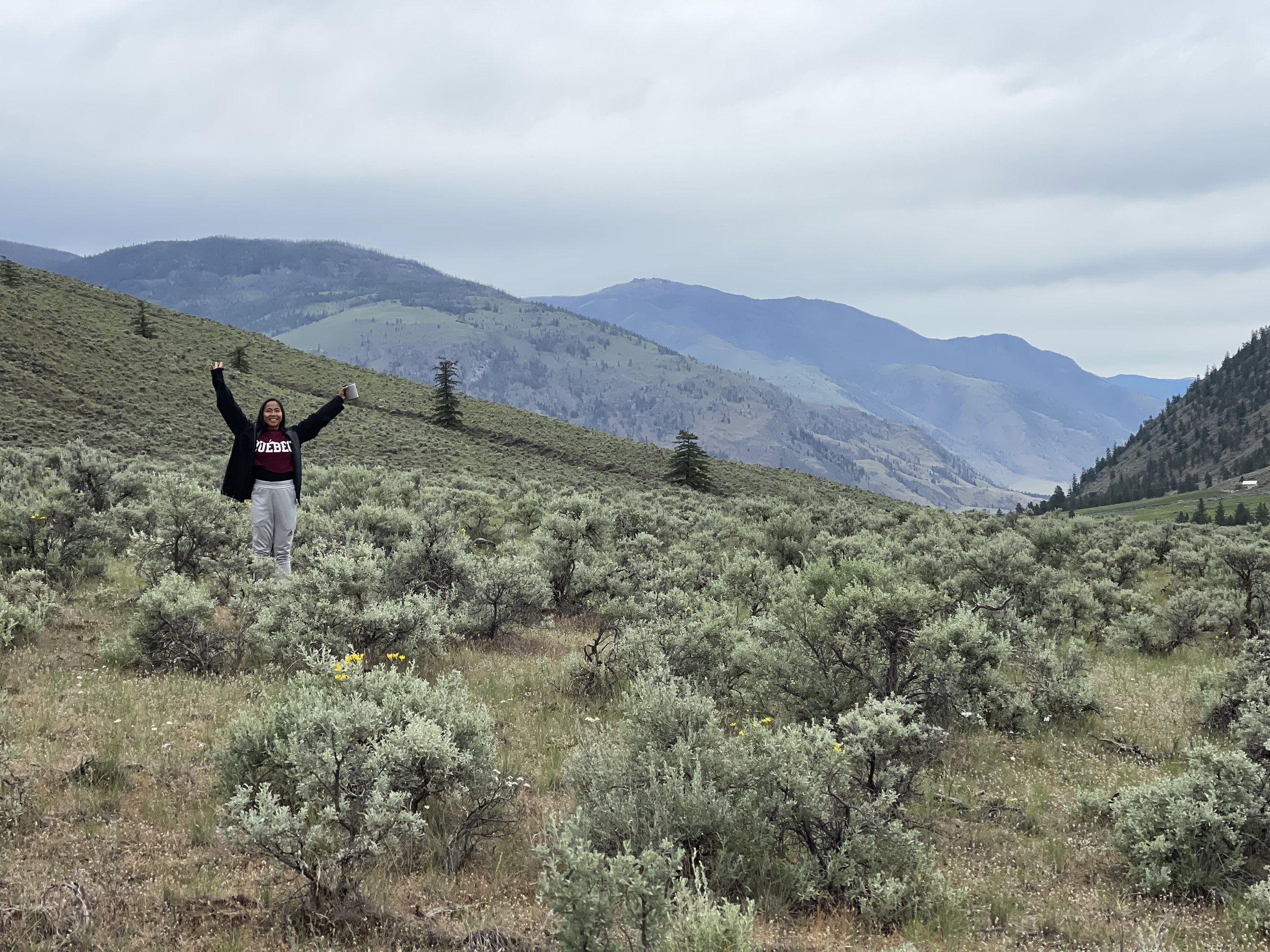
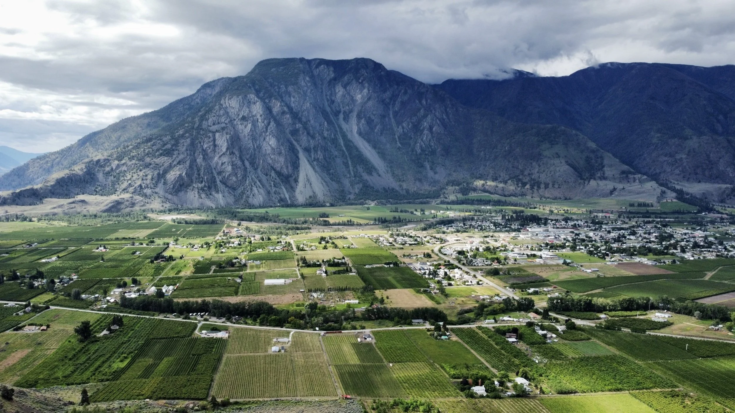
Discover one of the most southern hiking trails in British Columbia called the Nighthawk Trail. This 4.3-km loop trail is located along the USA/Canada border near the small villages of Cawston and Keremeos. It is a moderately challenging hike taking around 2 hours to complete. The trail isn’t a very well-known one given its off-the-beaten-path location. That being said the trail provides magnificent views of the Similkameen Valley and hikers can see all the way to Washington state. The landscape is semi-desert and provides a beautiful walk through a sagebrush-filled valley and past sparse tracks of pine forests.
Nighthawk Hill Trail YouTube Video
How to Get to Nighthawk Trail
The Nighthawk Trailhead isn’t well marked and it is recommended to use Google Maps to take you there. To get to the trail you must drive south on the Crownest Highway towards the USA border. Turn right onto Nighthawk Road and continue for a short distance until you see the first cattle gate to you right. This is where you will start your hike.
