Camel's Hump Hike, Lumby
Camel’s Hump, Okanagan, British Columbia, Canada
About Camel’s Hump, Okanagan Valley, British Columbia
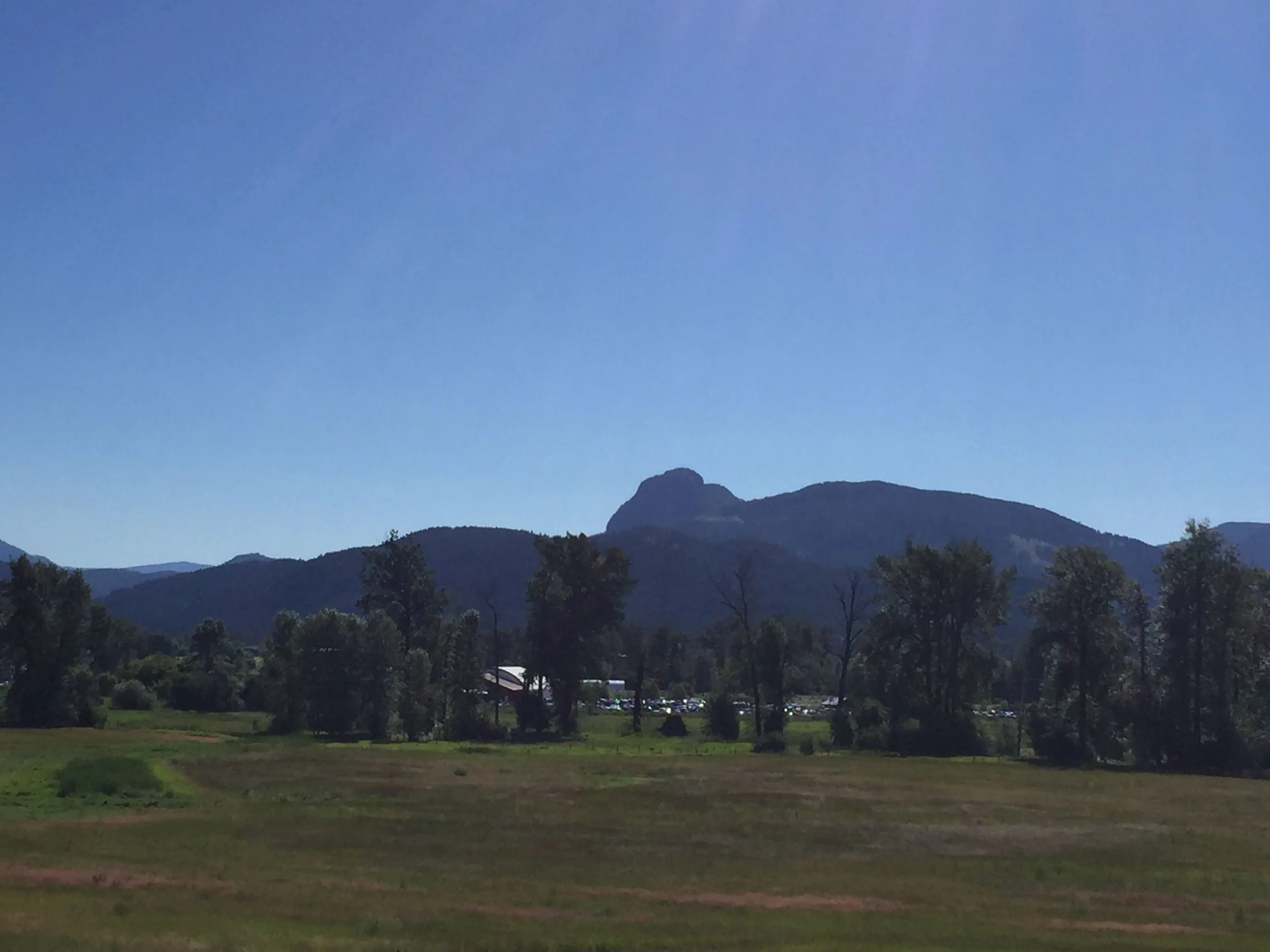
Camel’s Hump is a visual icon for the North Okanagan and can be spotted from many miles away while driving along Kalamalka Lake on Highway 97. If you’re an avid hiker such as myself then this mountain will be sure to draw you in from afar. It is well known for being an ancient extinct volcano and when you lay your eyes on it you’ll understand why it got the name Camel’s Hump. It is situated in the lush green Creighton Valley, Okanagan, British Columbia on the edge of the vast backcountry wilderness.
Exploratory Glory YouTube Channel
How to Get There
Map of Camel’s Hump
Camel’s Hump, Okanagan, British Columbia, Canada
On your way out there, just as you head into Lumby you will see the beastly volcano and this is when you realize what you’re up against. We headed to meet my dad, who would join us on our hike and also be our driver as we have no truck. In order to get to the trailhead, you will definitely need a truck with some clearance underneath. The roads are super rough and bumpy with sharp rocks everywhere, so getting a flat tire wouldn’t be that hard. On the way up, I was thinking “there is no way a car could get up here”, but to my surprise, some crazy hippies managed to get their small car 3 quarters of the way up the mountain, so let’s just say they had an extra long trek that day.
Camel’s Hump, Okanagan, British Columbia, Canada
As you drive around the backside of this 60 million-year-old mammoth, your excitement will start to build and you will get a sense of how high the cliffs actually are.
Camel’s Hump, Okanagan, British Columbia, Canada
Here’s a shot of this cool little pioneer cabin at the base of the mountain and what’s interesting about it is that my dad once lived in that very cabin when he was a young lad.
Camel’s Hump, Okanagan, British Columbia, Canada
Camel’s Hump, Okanagan, British Columbia, Canada
Raspberries were all along the road, so we thought what better way to replenish our energy than with some wild fruits.
Camel’s Hump, Okanagan, British Columbia, Canada
Camel’s Hump, Okanagan, British Columbia, Canada
Camel’s Hump, Okanagan, British Columbia, Canada
On the way up you will see Clier Lake, which is a small body of water that looks like it would be a great kayaking spot.
Camel’s Hump, Okanagan, British Columbia, Canada
When you reach the parking area you will see the trail sign, which has been riddled with bullet holes courtesy of the local rednecks.
Camel’s Hump, Okanagan, British Columbia, Canada
The hike is fairly steep and difficult in some spots, so falling to your death wouldn’t be hard if you weren’t paying attention.
Camel’s Hump, Okanagan, British Columbia, Canada
There are two humps and when you arrive at the first one you get a nice view of the second hump. The only problem is, that by this point you’ll probably already be exhausted and you’ll still have to go down a steep decline and back up again, but that’s what you signed up for.
Camel’s Hump, Okanagan, British Columbia, Canada
There are some pretty steep sections of the trail that may require all fours.
Camel’s Hump, Okanagan, British Columbia, Canada
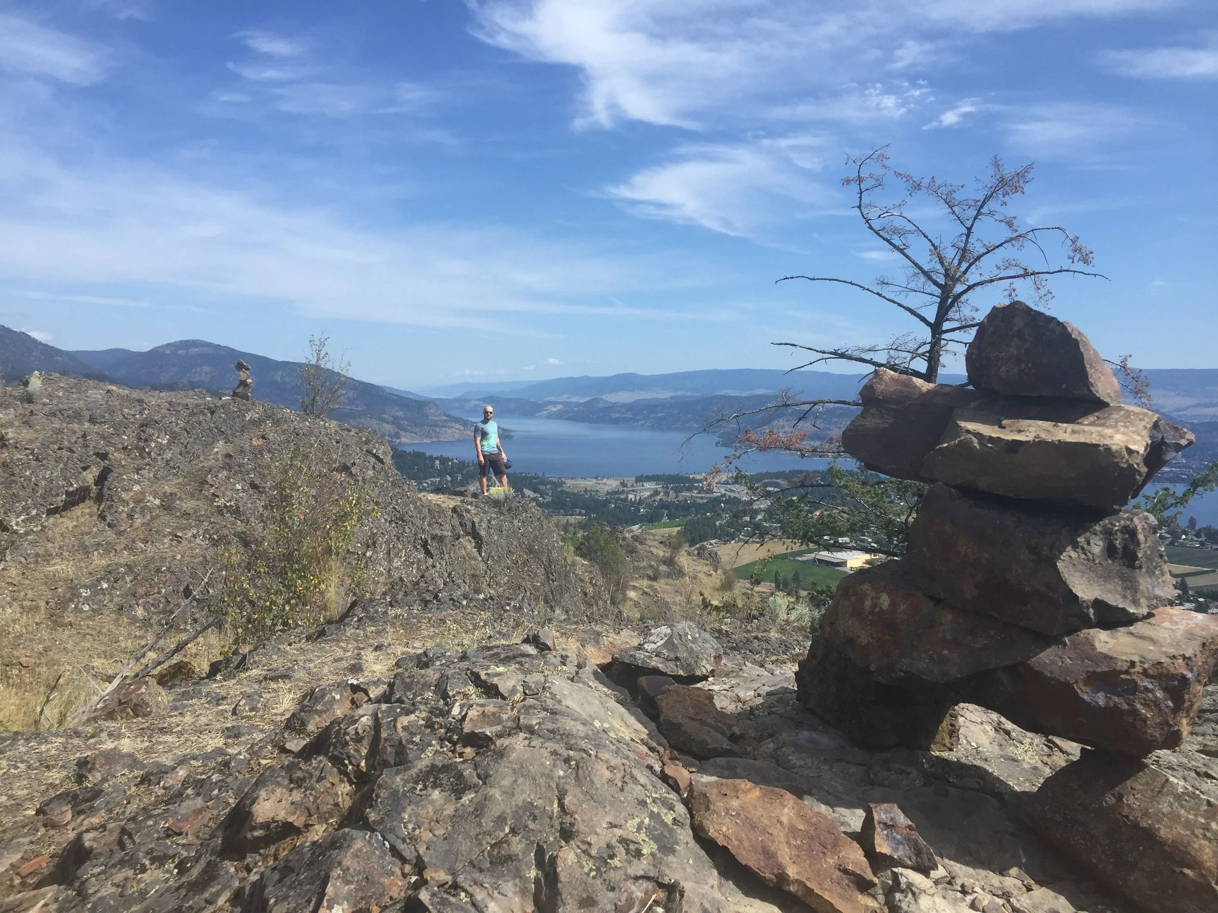
When you reach the second hump there will be a makeshift bench for your obligatory “Instagram Gold” shot.
It’s a pretty surreal feeling when you're up there and you think about the fact that you are perched atop a 60 million-year-old volcano.
Camel’s Hump, Okanagan, British Columbia, Canada
The second hump provides you with a fantastic view of the valley looking towards the village of Lumby.
Camel’s Hump, Okanagan, British Columbia, Canada
#love #hearts #ebonyandivory
Camel’s Hump, Okanagan, British Columbia, Canada
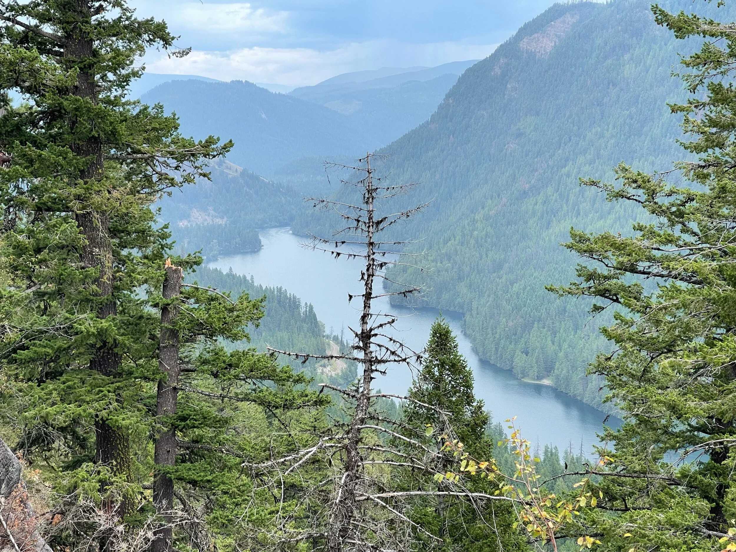
Once you are done with your photoshoot on the first hump, take a walk around the backside and you will get a nice view of Mabel Lake off in the distance.
Camel’s Hump, Okanagan, British Columbia, Canada
There is a platform that appears to either be for paragliding or for pitching a tent.
Camel’s Hump, Okanagan, British Columbia, Canada
“That’s quite the pecker pole your grabbing onto, dad!”
Camel’s Hump, Okanagan, British Columbia, Canada
This green cricket was pretty cool to get a shot of and they are fairly rare to see.
Camel’s Hump, Okanagan, British Columbia, Canada
Off in the distance looking east, you can you the Monashee Mountains, which is a massive Provincial Park with all kinds of hiking and beautiful alpine lakes.
Camel’s Hump, Okanagan, British Columbia, Canada
Nothing like hydrating with some H2O after an arduous hike. The vodka is just and added bonus.
Conclusion
Camel’s Hump is a great day hike and an interesting place to visit given its unique geological history. I suggest packing a cooler and hiking up in the morning and afterward heading down to the amazing Echo Lake and washing off all that sweat with a swim in its perfectly clear waters. The lake is only a few minutes down the road and will be the cherry on top of your day.
Just another warning you must have a good set of wheels for this hike otherwise you will put your vehicle at risk of damage.


